
Liquid Kingdom
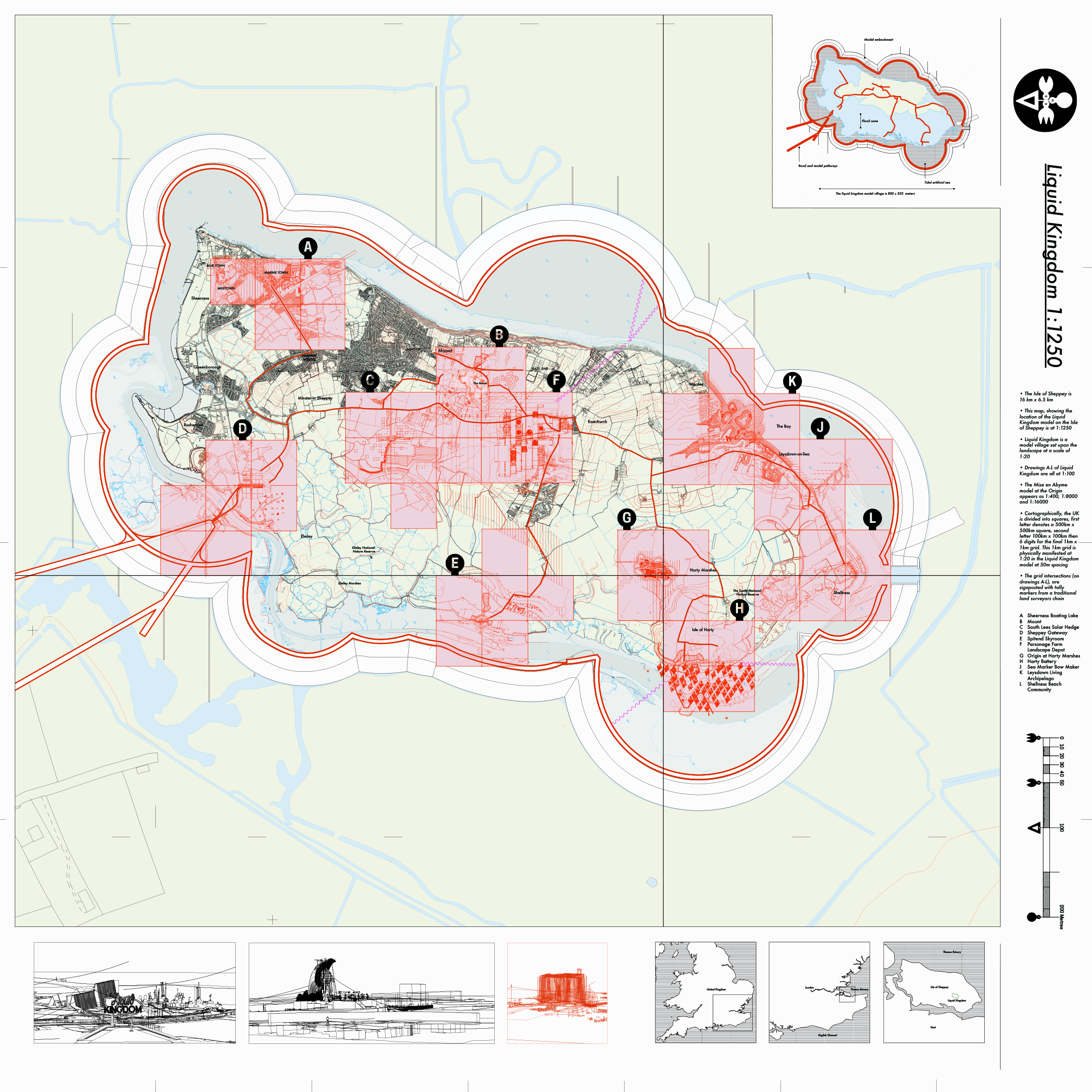
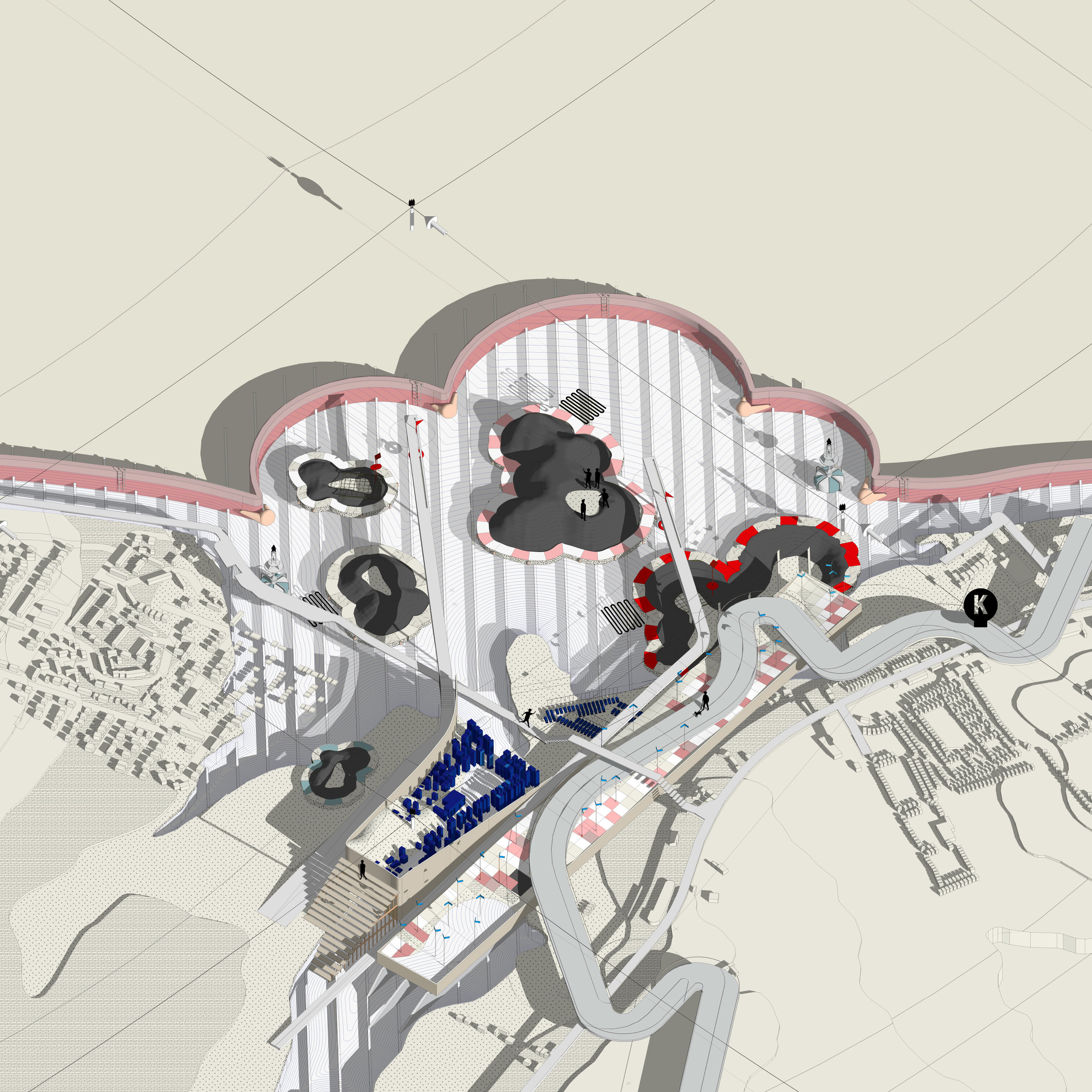
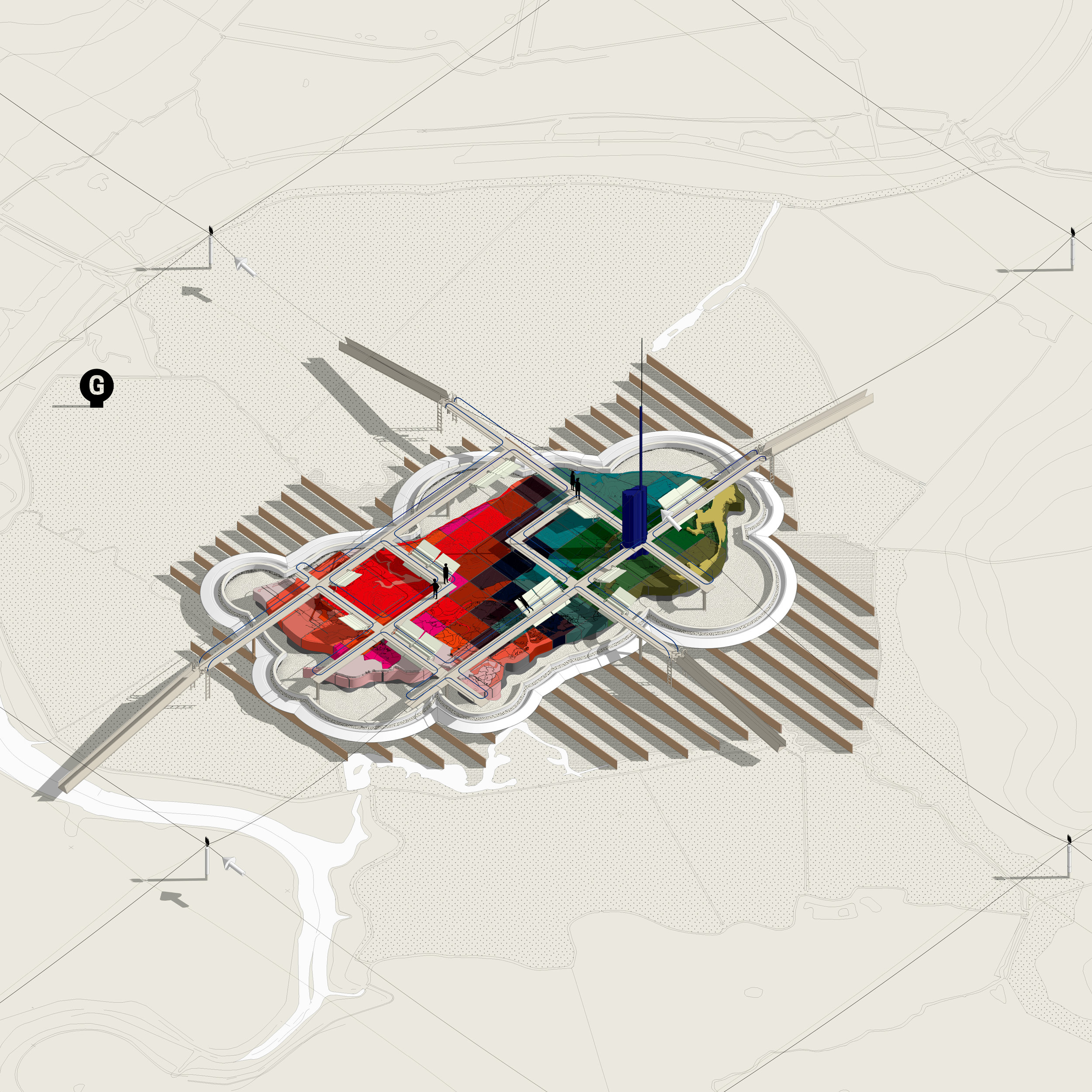
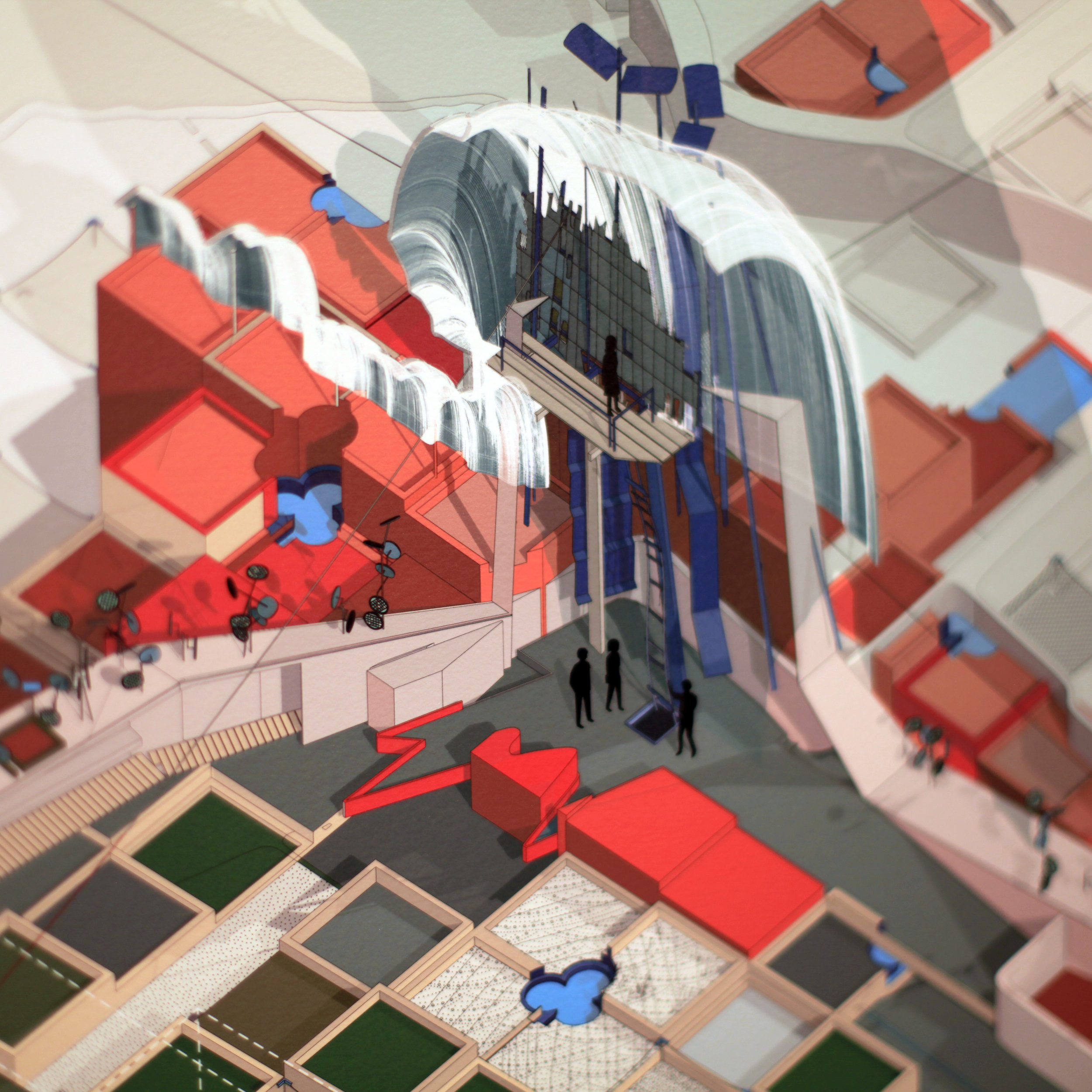
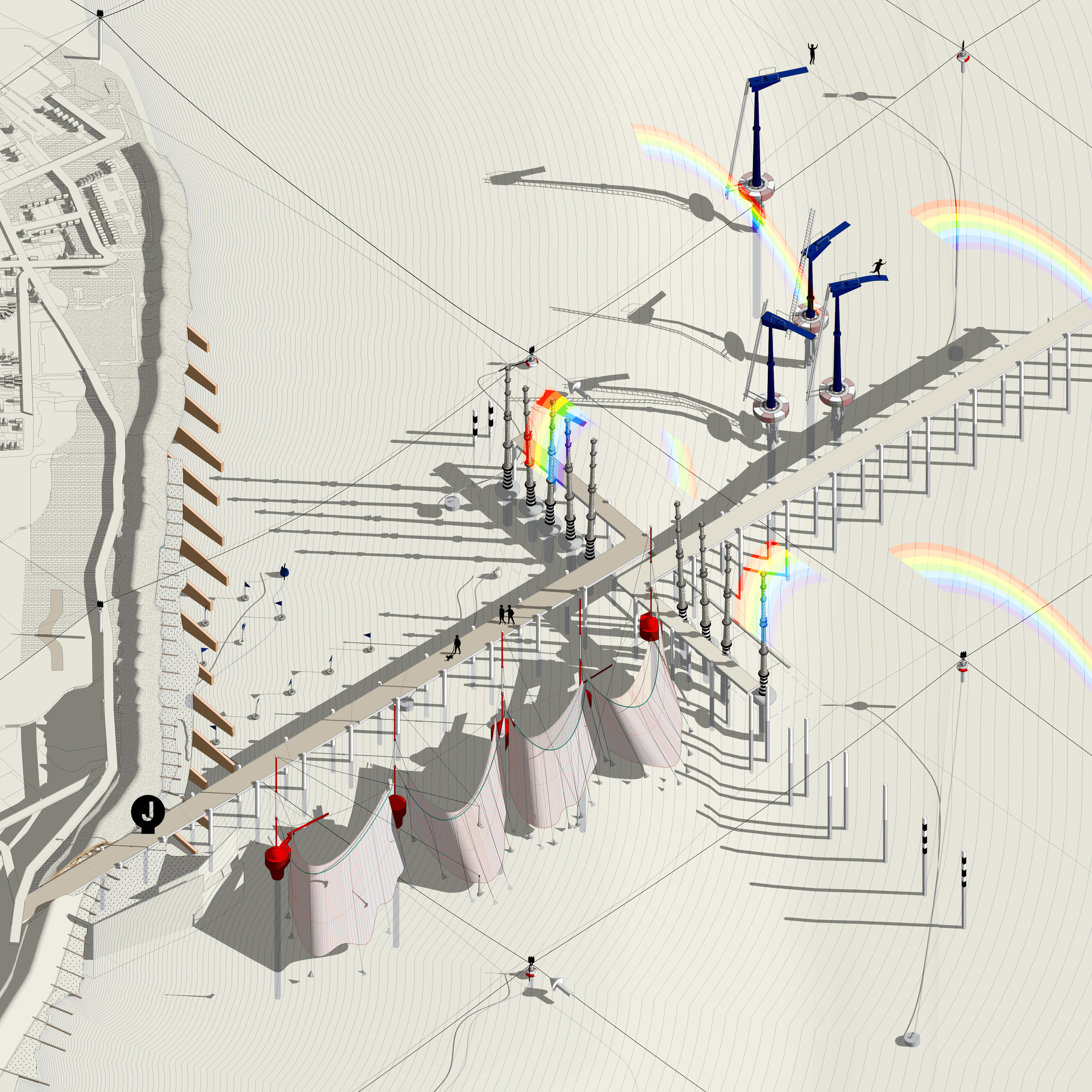
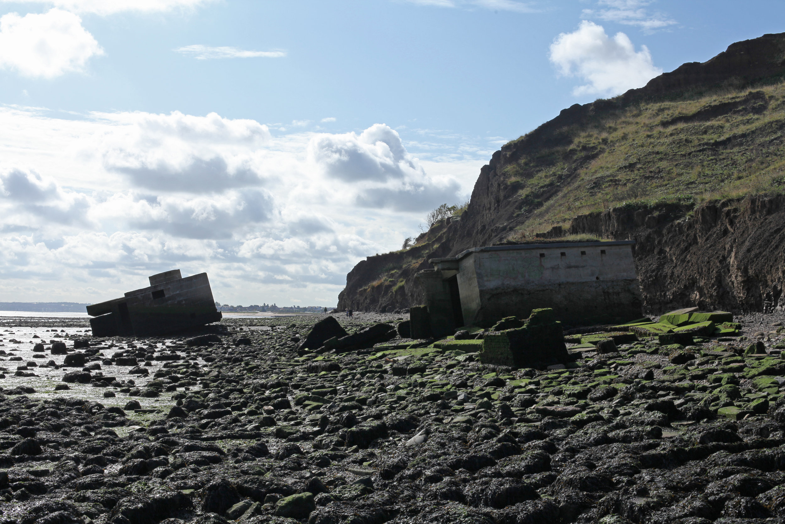
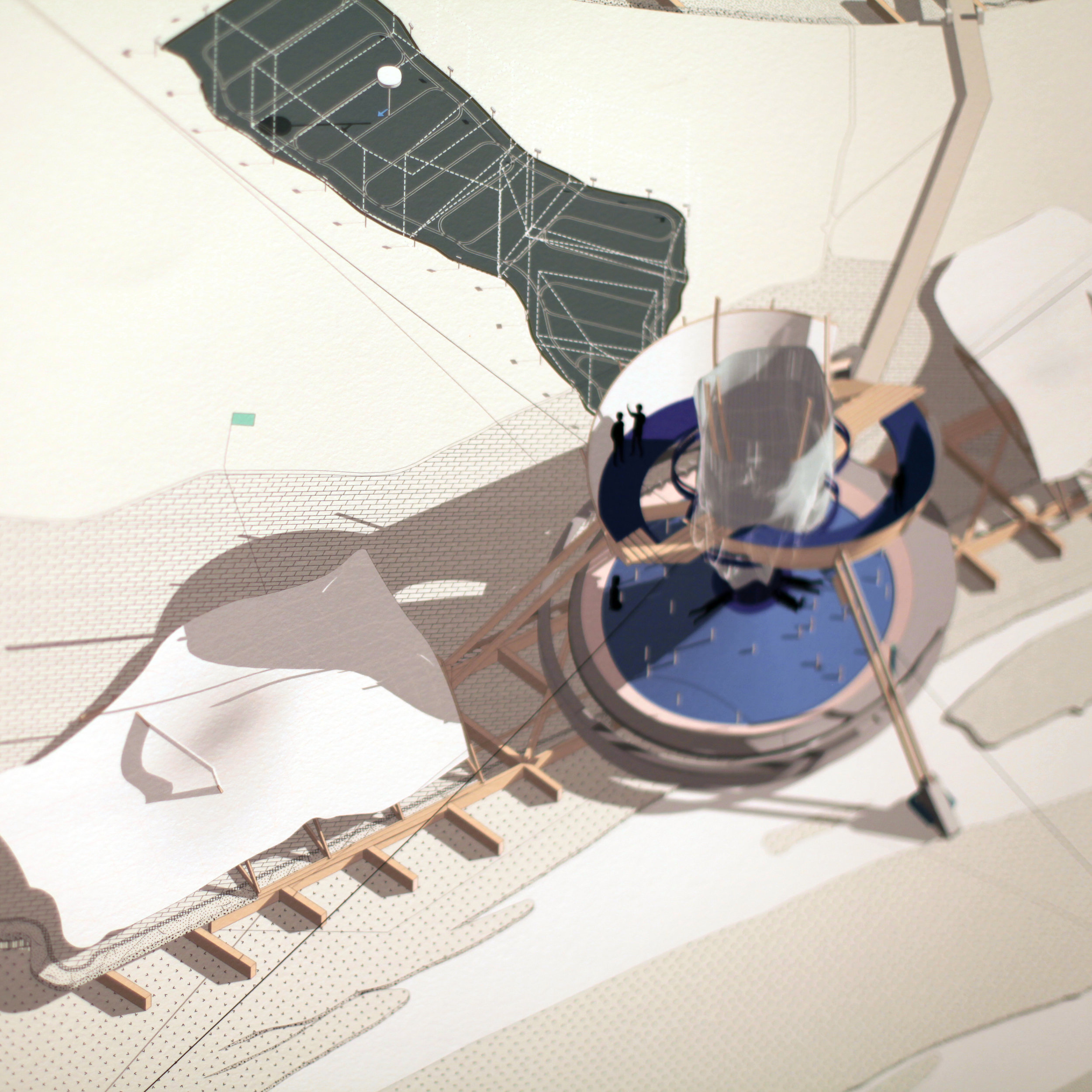
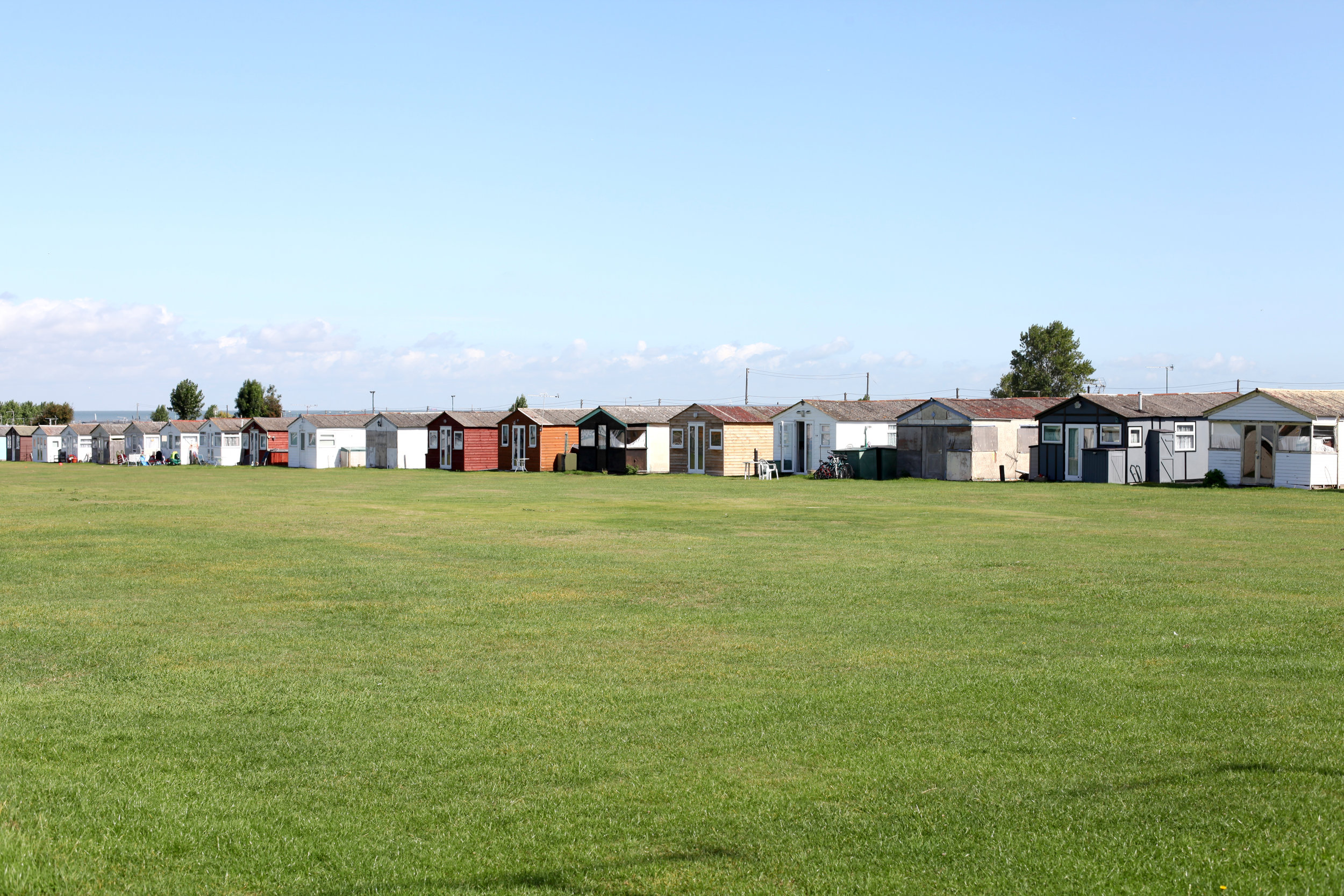
Liquid Kingdom is a speculative design proposal for an environmental ‘proving ground’ of landscape and architectural installations, sited on the Isle of Sheppey in the Thames Estuary, which responds to the island's unique character and prepares it for the future demands of society and climate change. Taking the form of a model village, Liquid Kingdom sees Sheppey scaled down to 1:20 with the whole model, at approximately 800 x 320 metres, ‘built’ in the island’s southern marshland meadows.
This ‘super-size miniature’ provides a place to see, experience, measure, analyse and enjoy the landscape, bridging the gap between research and local user groups. Part sincere architectural landscape proposal, part whimsy, the project speaks to the British relationship with landscape, the seaside, our nostalgic tendencies, and the anthropogenic impacts of recent times.
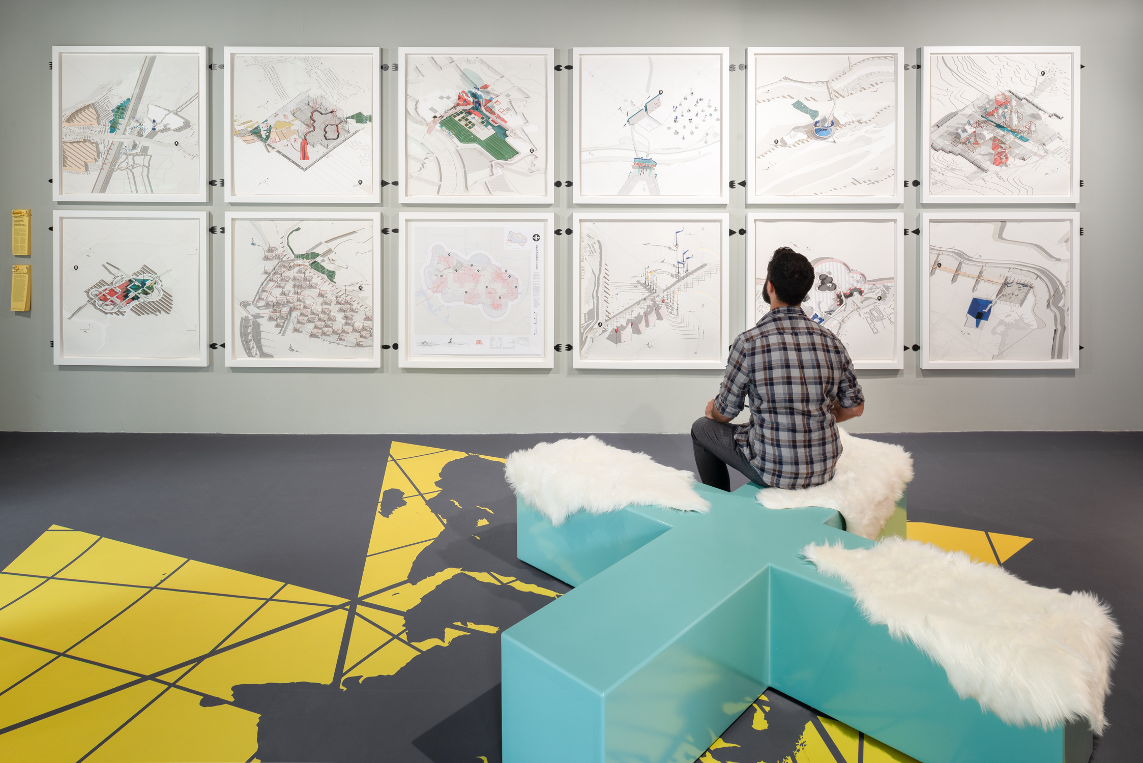
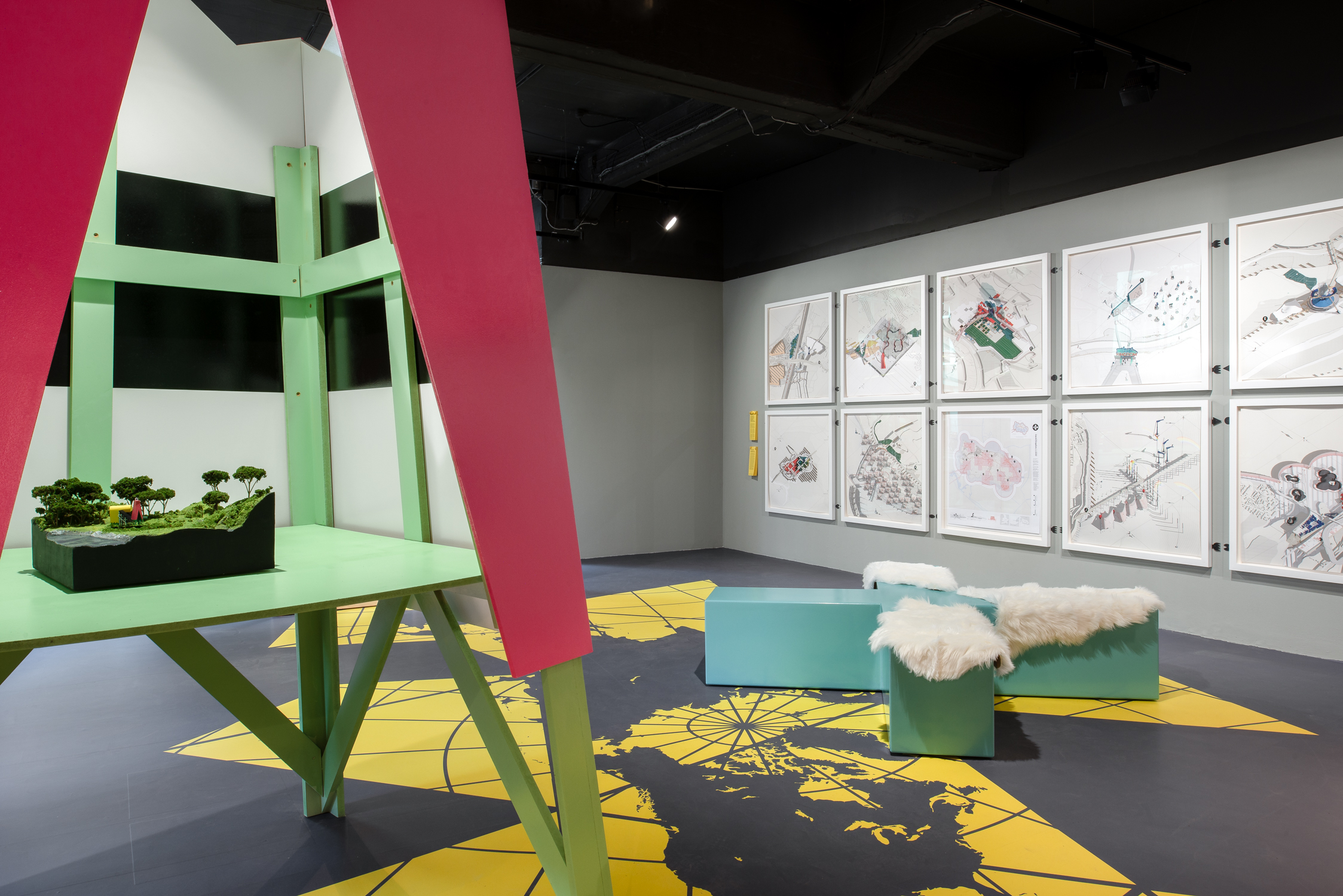
Contemporary Cartography examines how we navigate, document and shape the built environment today through the work of four practices; James Corner Field Operations, ScanLAB Projects, Studio MUTT and Smout Allen.
Maps delineate space and can both conceive and compound geographical, cultural, political and social boundaries as a physical manifestation in the built environment. Often used as a drawing tool, maps can be conflated with plans – neutral forms of data representation that simplify the interrelation of time, space and experience in place making to a singular vision.
The exhibition proposes a re-engagement with maps and acts of cartography as creative, generative processes – positive cultural tools with the potential to reimagine our environments. Through the projects displayed, it hopes to encourage a reflection on different practices of spatial representation, what they tell us about the world we live in and how they help transgress ‘boundaries’ in a variety of senses – both physical and social.
Installations are placed on a giant ‘Dymaxion Map’, created by architect and polymath Buckminster Fuller in 1954 to critique the accepted representation of the earth. By removing visual hierarchies from the presentation of the globe, the map reveals countries as one unified landmass in an ocean; encouraging an alternative view of the world and global social relations.
The projects exhibited on it explore how cartography opens up new ways of seeing complexity in the world and engenders multiple design possibilities. They address the technologies and measuring tools of cartography, questioning their legacy and influence on our experiences of the landscape.
The Building Centre, 3 June – 30 August 2019.
Liquid Kingdom: Modelling at Architectural Proving Ground
This autumn, a collection of new drawings of test sites will be exhibited showcasing concepts such as the Sheppey Battery, which buffers electricity from the London Array, Autonomous Pocket Farms, which allow for low impact agricultural development on previously ignored sites, Living Archipelagos to test coastal dwelling conditions and Drone Calibration Ports amongst others. The exhibition is accompanied by audio recordings of the liminal landscapes of the South East of England by the composer, Mike Challis, a leading artist concerned with recording the natural environment for public installations.
The Ewing Gallery, College of Art and Architecture, University of Tennessee, Knoxville, USA. 6 November – 4 December 2017